
Polar Networks
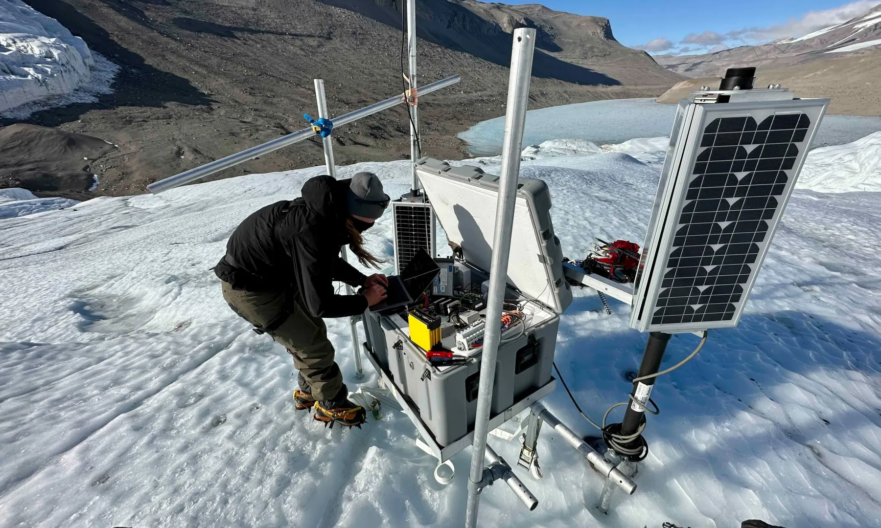
Polar Services installs, maintains, and operates several networks of seismic and geodetic sensors including the Polar Earth Observing Network (POLENET) in Antarctica (ANET) and Greenland (GNET), Mt. Erebus, and other networked stations in both the Arctic and Antarctic. These networks of geophysical stations improve geophysical observations across the Earth’s polar regions and provide a legacy of observational infrastructure to enable new insights into the interaction between the atmosphere, oceans, polar ice sheets and the Earth’s crust and mantle. Network monitoring tools are provided here to provide state of health (SOH) information to our engineers, principal investigators, and the public at large.
The EarthScope Primary Instrument Center (EPIC) has equipment and instrumentation available to principal investigators available that is adapted to short, seasonal (summer only) deployments; or single to multi-year year-round deployments. As opposed to traditional geophysical stations installations around the world, instrumenting the Arctic or Antarctic require special consideration due to the extreme nature of the climatic conditions, temperature being the primary challenge.
ANET
Led by Ohio State University, ANET is a GPS and seismic network spanning West Antarctica and the Transantarctic Mountains, the main mountain range separating East and West Antarctica. One of the reasons ANET is so unique and valuable is because its backbone network consists of both GPS and seismic instrumentation. This allows for a more complete understanding of the interactions between the ice sheets and the underlying bedrock. GPS stations record how the bedrock is moving in response to changes in ice mass. However, the strength of the Earth’s interior also influences how the bedrock deforms. Seismic stations record data that allows us to understand the properties of the Earth’s interior, like the strength of the crust and underlying mantle, giving us a more complete understanding of how the Earth is responding to changes in the ice sheets. ANET uses improved technologies to record measurements year-round and to transmit data from remote sites to archives in the USA.
GNET
Led by Ohio State University’s division of Geodetic Science, GNET is a network of 46 continuous GPS stations spread across Greenland. This network will map the steady vertical velocity field associated with postglacial rebound and improve our understanding of ice mass changes in Greenland, allowing scientists to quickly detect and analyze any abrupt changes in the rate of ice loss in this region.