
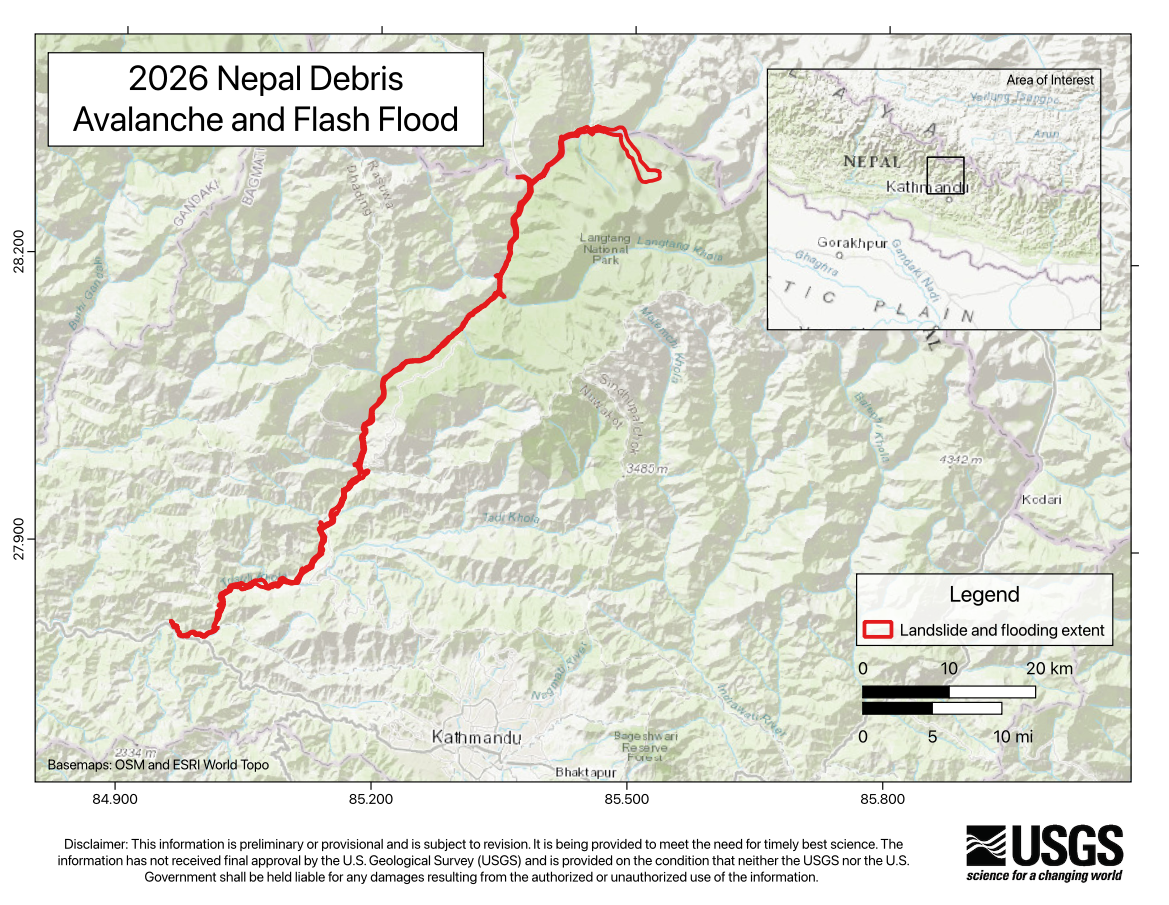
A glacial collapse triggered a catastrophic debris flow and flood in Nepal near the China border. The glacial collapse and debris flow produced a magnitude 5.2 seismic event.
Geophysical Events

Geophysical Event
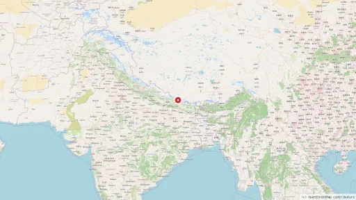
Nepal glacial collapse and debris flow
Image

- Magnitude
- M 5.2
- Location
- 55 km NW of Kodāri̇̄, Nepal
- Coordinates
- 28.271, 85.515
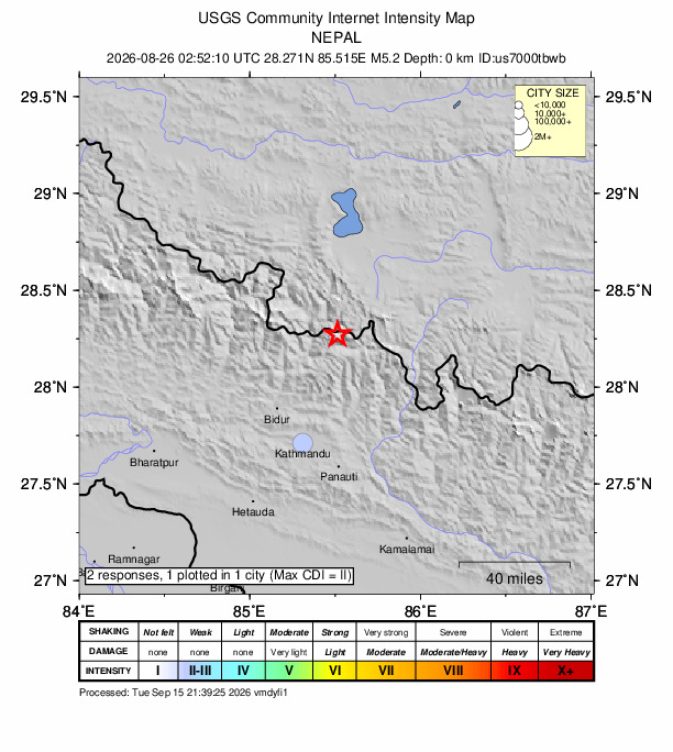
Did You Feel It
The USGS collects information from people who felt an earthquake and creates maps that show what people experienced and the extent of the damage.
View
Earthquake Browser
Explore millions of earthquakes on a Google map. View epicenters in 2D, or rotate through hypocenters in 3D. Options allow changing Time, Magnitude, Depth, and more.
View
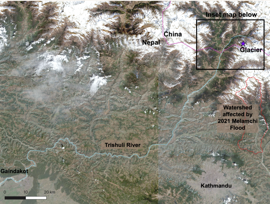
CLaSH StoryMap
This StoryMap from the Center for Land Surface Hazards (CLaSH) includes an overview of the debris flood event, including estimated flow rates and arrival times along the river.
View
AP News
Collection of reporting from AP News on the Nepal floods. Initial reports state that over 390 were killed, with more than 1,400 still missing.
View
USGS Landslide Event Page
Event summary from the USGS with initial findings on the debris avalanche and flash flood.
View