
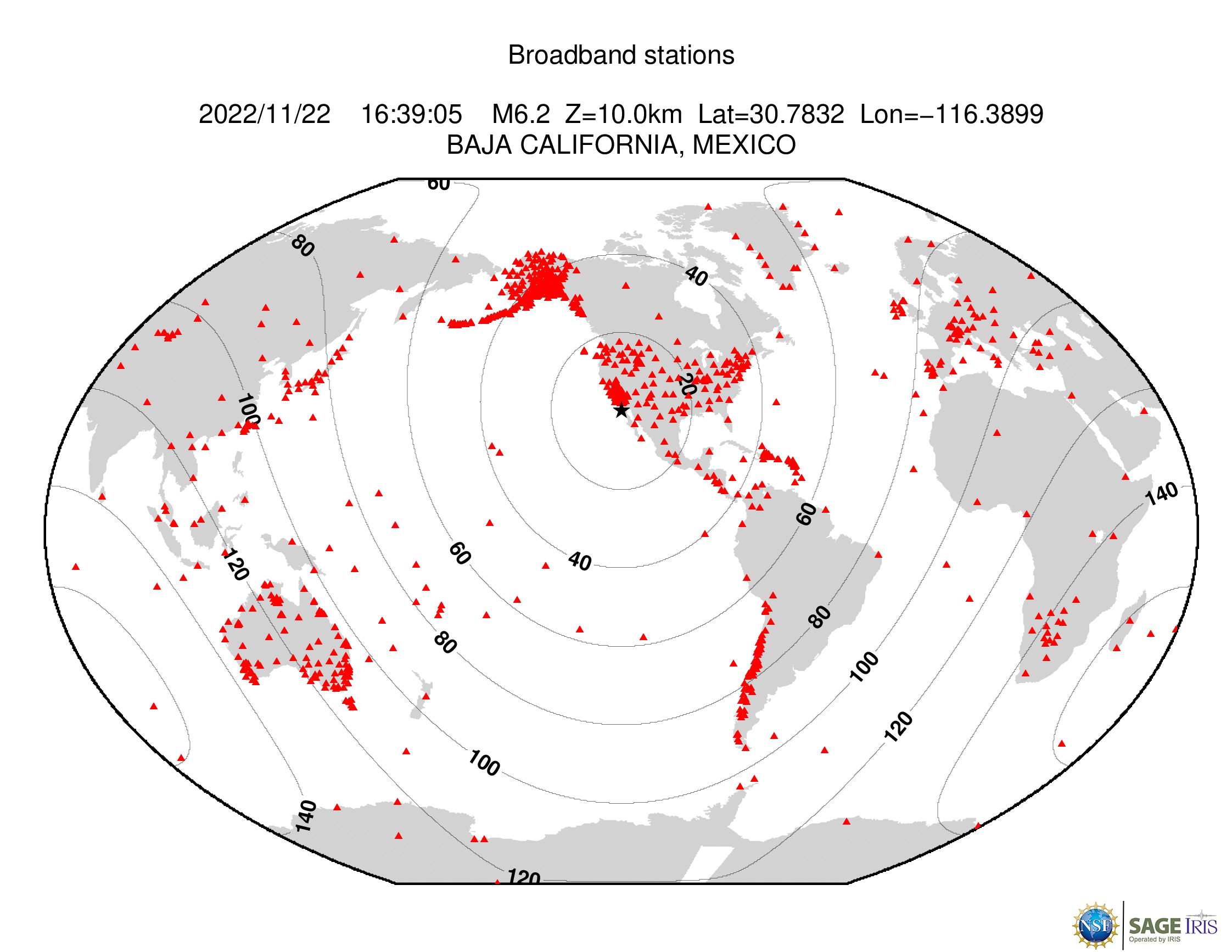
At 16:39:05 (UTC) on November 22, a magnitude 6.2 earthquake occurred 29 km southwest of Las Brisas, Mexico. For more information, see the USGS Earthquake Hazards Program event page.
Geophysical Events


Geophysical Event
M 6.2 Las Brisas, Mexico
Image

- Magnitude
- M 6.2
- Location
- 28 km SW of Las Brisas, Mexico
- Depth
- 10 km
- Coordinates
- 30.794, -116.391
Shakemap
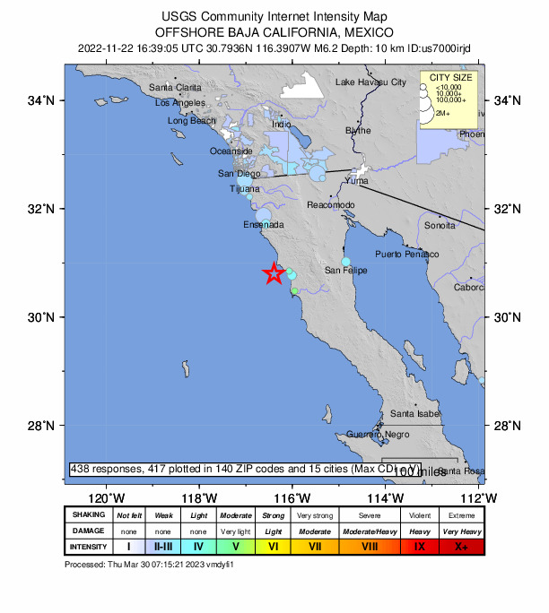
ShakeMap, developed by the USGS, facilitates communication of earthquake information beyond just magnitude and location. By rapidly mapping out earthquake ground motions, ShakeMap portrays the distribution and severity of shaking.
View
Did You Feel It
The USGS collects information from people who felt an earthquake and creates maps that show what people experienced and the extent of the damage.
View
Earthquake Browser
Explore millions of earthquakes on a Google map. View epicenters in 2D, or rotate through hypocenters in 3D. Options allow changing Time, Magnitude, Depth, and more.
ViewGround Motion Visualization
Data-generated visualizations show how the ground moves across the U.S. as seismic waves from moderate local or large distant earthquakes move across the surface of the Earth.
View
Event Plot
Suite of plots that are automatically generated following all earthquakes of magnitude 6 or greater that examine different facets of an earthquake.
View
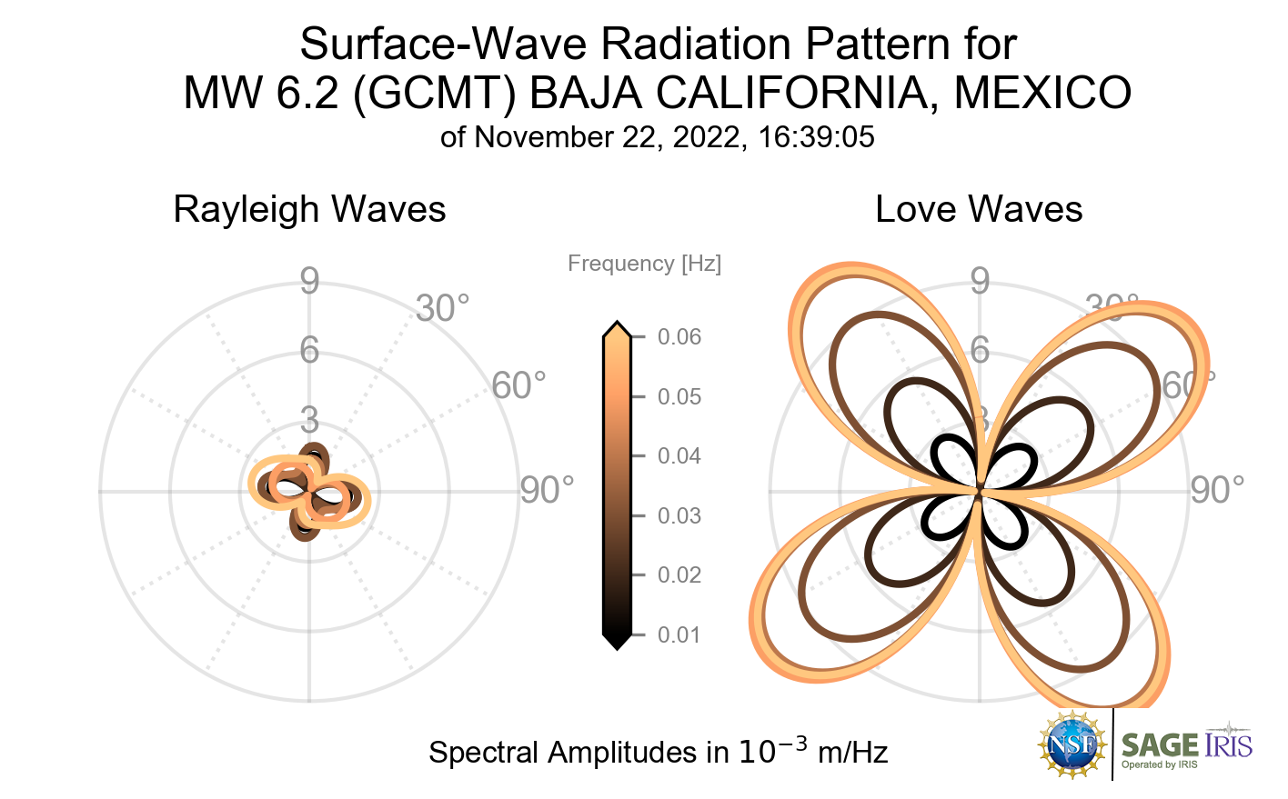
Surface-Wave Radiation Patterns
Initial quick-CMT solutions are available within minutes of an event and are later updated to full GCMT solutions when updates arrive.
View
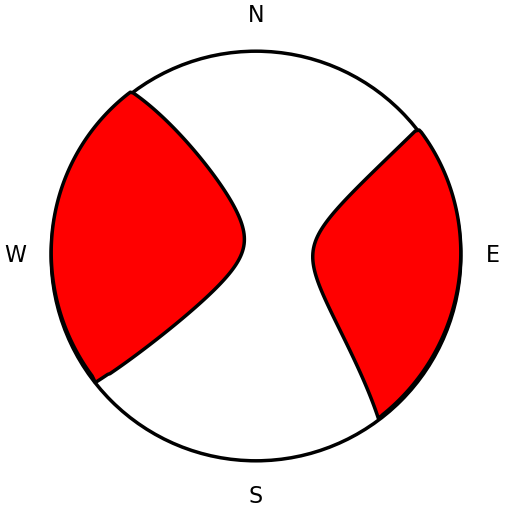
Moment Tensor
Initial quick-CMT solutions are available within minutes of an event and are later updated to full GCMT solutions when updates arrive.
View
Seismic Data Access
Download time series data based on this event.
View
Project Support Services
Request instruments or other types of support for PI projects.
ViewFootnotes
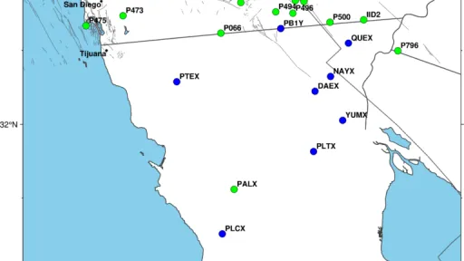
Technical
The event occurred within the footprint of the Network of the Americas (NOTA), a network of continuous GPS/GNSS stations and borehole instruments operated by UNAVCO that monitors plate motion and transient deformation, in addition to other applications. Stations near the event for which UNAVCO delivers data include a number of REGNOM/CICESE stations and one IGS station. Use of data from all stations should be acknowledged appropriately.