
M 7.7 earthquake near Pitaloza Arriba, Panama

- Magnitude
- M 7.7
- Location
- 12 km WSW of Pitaloza Arriba, Panama
- Depth
- 12.6 km
- Coordinates
- 7.587, -80.769
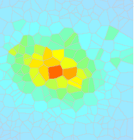
Shakemap
ShakeMap, developed by the USGS, facilitates communication of earthquake information beyond just magnitude and location. By rapidly mapping out earthquake ground motions, ShakeMap portrays the distribution and severity of shaking.
View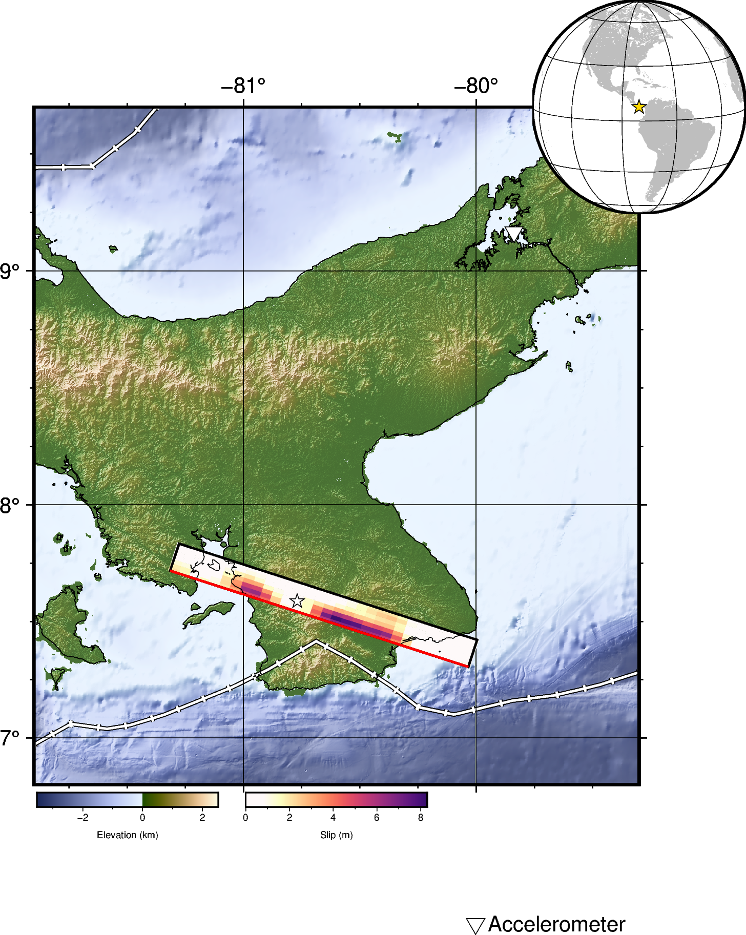
Finite Fault
Finite fault models generated by the USGS generally employ a kinematic finite fault inversion in the wavelet domain.
View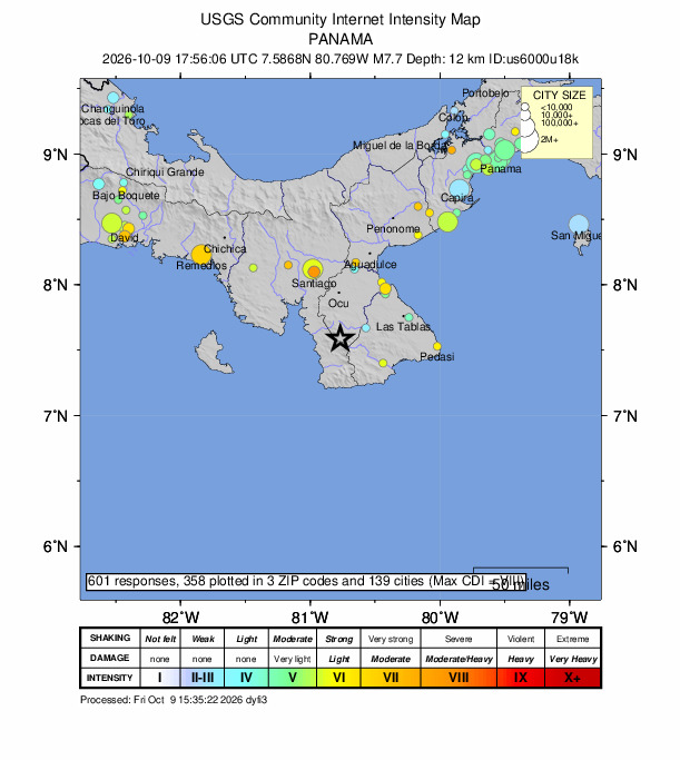
Did You Feel It
The USGS collects information from people who felt an earthquake and creates maps that show what people experienced and the extent of the damage.
View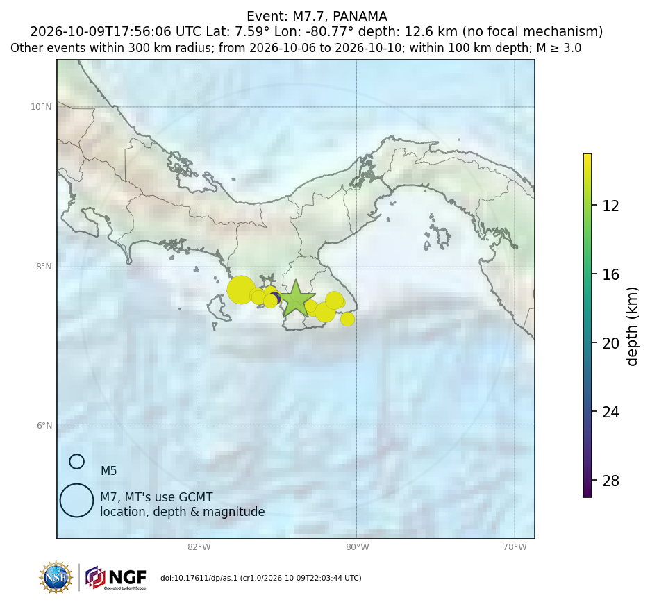
Aftershocks
Aftershocks, smaller earthquakes that occur in the same general area during the days to years following a larger event or "mainshock."
View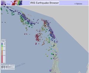
Earthquake Browser
Explore millions of earthquakes on a Google map. View epicenters in 2D, or rotate through hypocenters in 3D. Options allow changing Time, Magnitude, Depth, and more.
View
AP News
The Associate Press reported damage in the provinces of Veraguas, Herrera, and Los Santos, but no known casualties.
View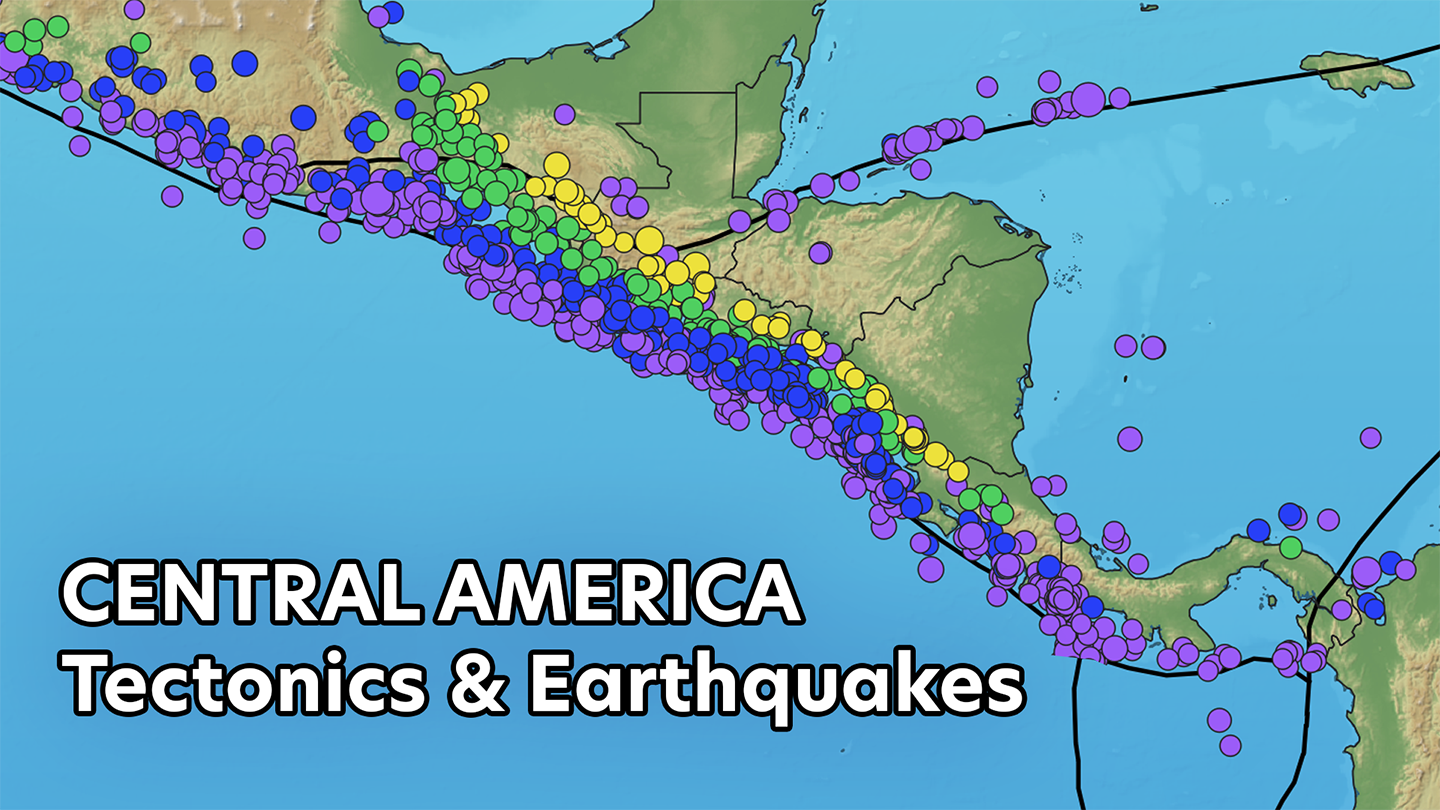
Tectonic Setting Video
Learn about the tectonic setting and earthquakes of Central America in this video.
ViewGMV for M7.7 (mww), PANAMA
Data-generated visualizations show how the ground moves across the U.S. as seismic waves from moderate local or large distant earthquakes move across the surface of the Earth.
View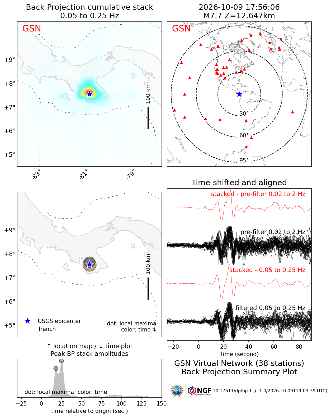
Back Projection
A type of earthquake analysis using a seismograph network that gives researchers tools to examine detailed rupture propagation.
View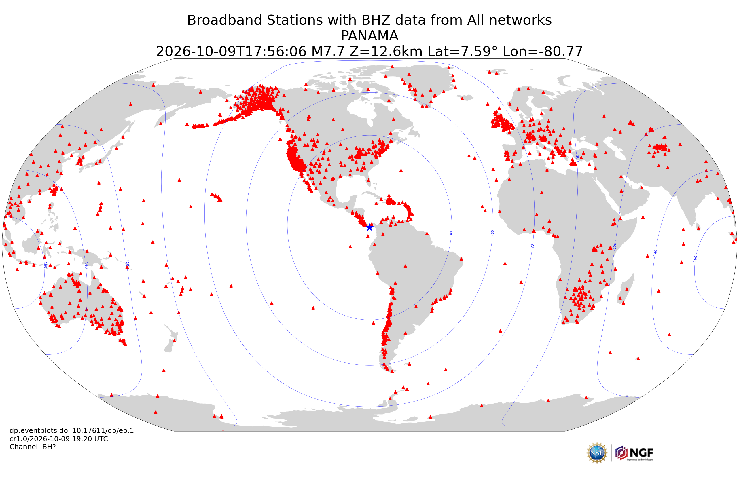
Event Plot
Suite of plots that are automatically generated following all earthquakes of magnitude 6 or greater that examine different facets of an earthquake.
View
Seismic Data Access
Download time series data based on this event.
View
Project Support Services
Request instruments or other types of support for PI projects.
View
GNSS Data
Find high-rate GNSS data from nearby stations.
View