
At 18:40:28 (UTC) on December 14, 2023 a magnitude 6.3 earthquake occurred near Amchitka Island, Alaska.
Geophysical Events
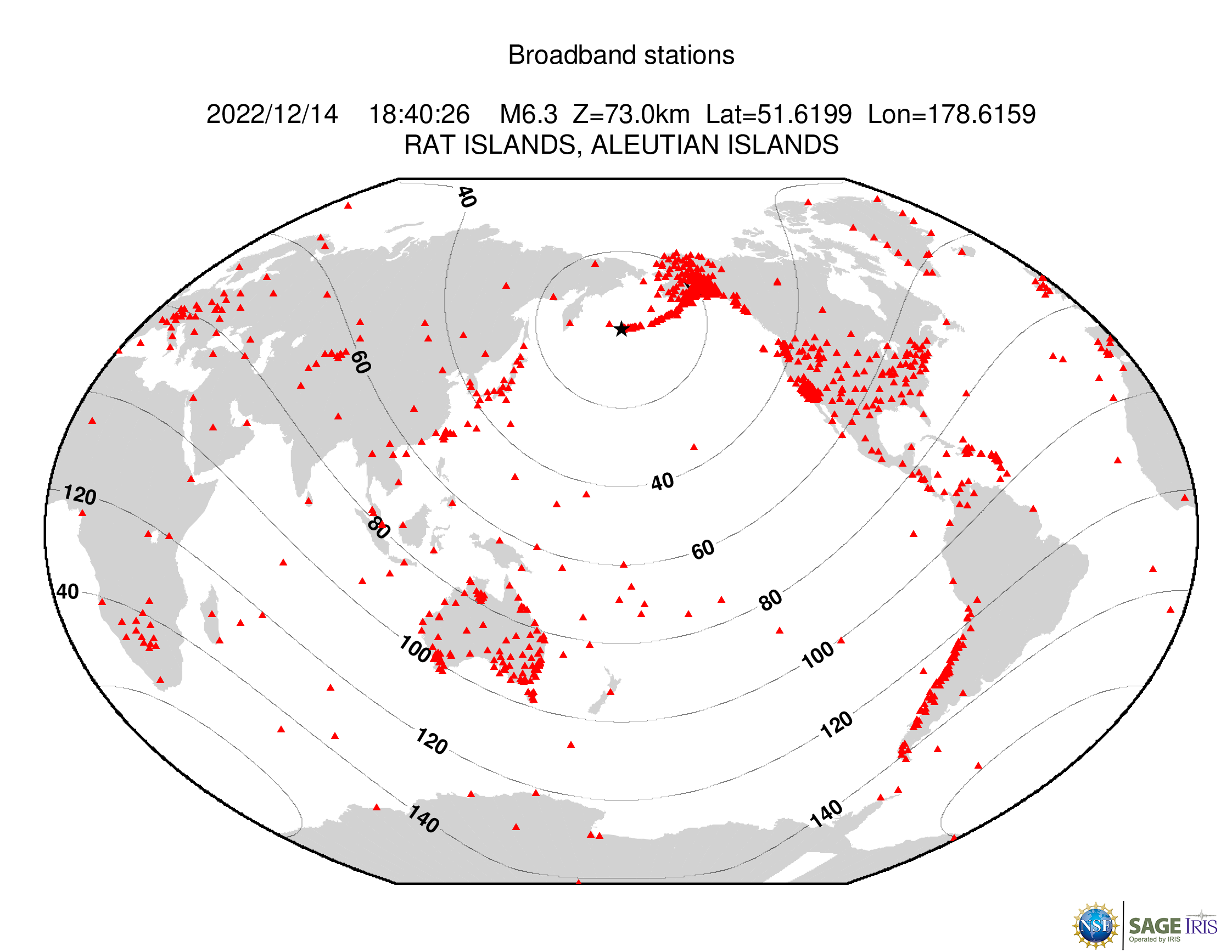



Geophysical Event
M 6.3 Rat Islands, Alaska
Image

- Magnitude
- M 6.3
- Location
- Rat Islands, Aleutian Islands, Alaska
- Depth
- 73 km
- Coordinates
- 51.608, 178.597
Shakemap
ShakeMap, developed by the USGS, facilitates communication of earthquake information beyond just magnitude and location. By rapidly mapping out earthquake ground motions, ShakeMap portrays the distribution and severity of shaking.
ViewDid You Feel It
The USGS collects information from people who felt an earthquake and creates maps that show what people experienced and the extent of the damage.
View
Earthquake Browser
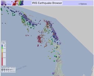
Explore millions of earthquakes on a Google map. View epicenters in 2D, or rotate through hypocenters in 3D. Options allow changing Time, Magnitude, Depth, and more.
View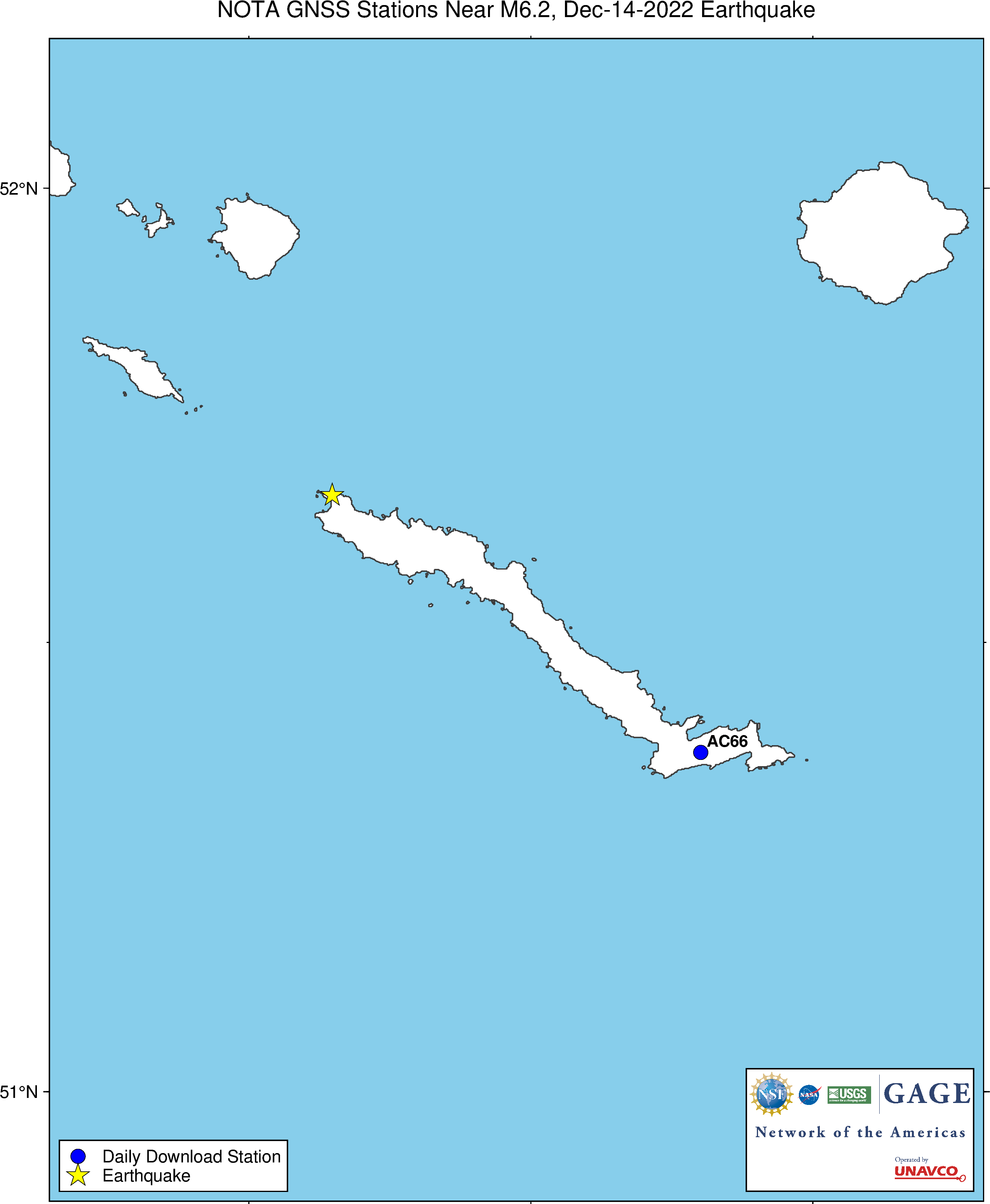
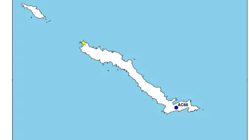
Nearest GPS station
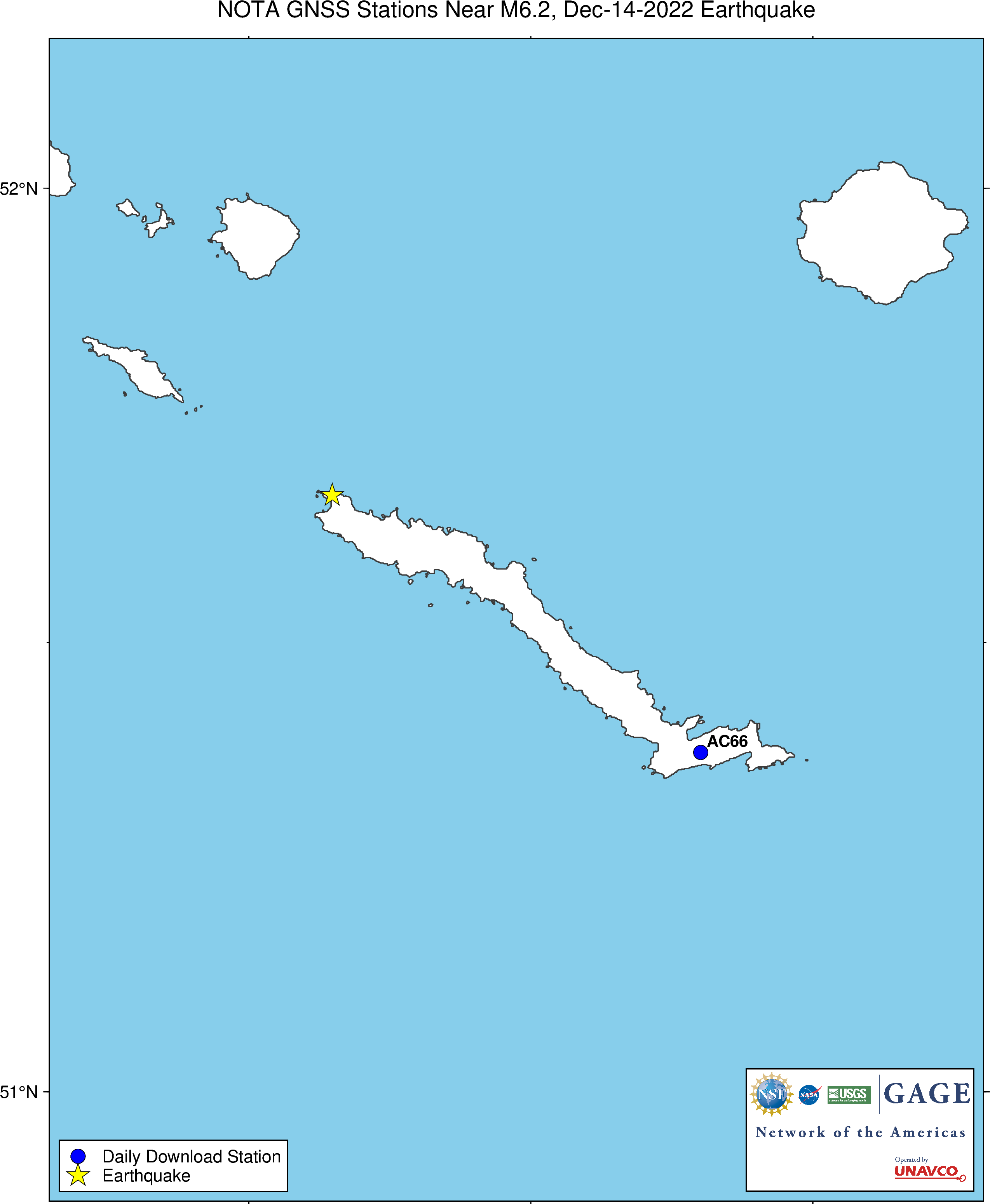
Epicenter and nearby GPS/GNSS station AC66.
ViewGround Motion Visualization
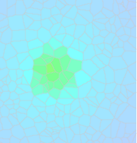
Data-generated visualizations show how the ground moves across the U.S. as seismic waves from moderate local or large distant earthquakes move across the surface of the Earth.
View
Event Plot
Suite of plots that are automatically generated following all earthquakes of magnitude 6 or greater that examine different facets of an earthquake.
View
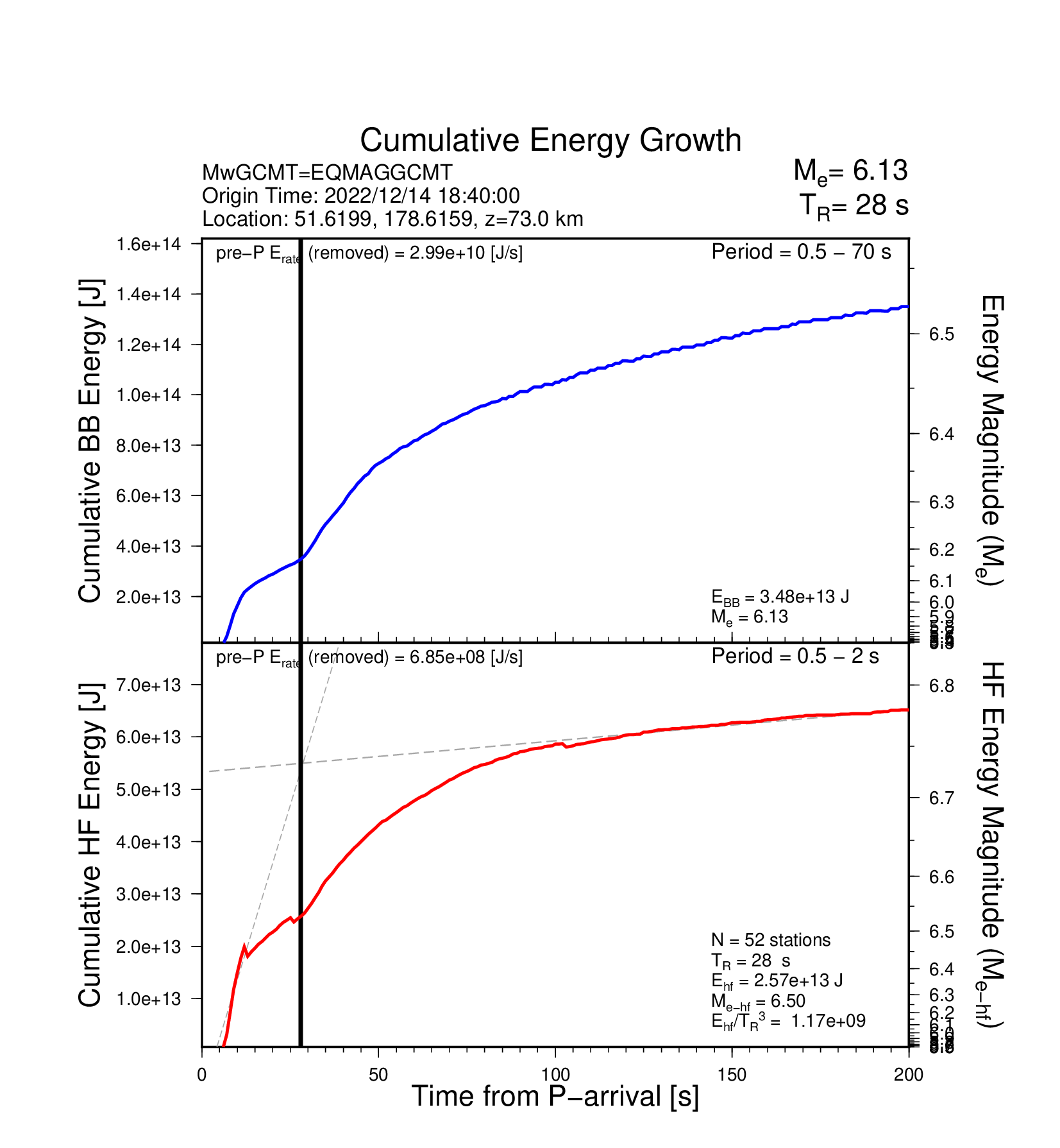
EQ Energy
Earthquake energy is a measure of the kinetic energy released through seismic waves during an event
View
Seismic Data Access
Download time series data based on this event.
View
Project Support Services
Request instruments or other types of support for PI projects.
View
Footnotes
Technical
These data are provided by the Geodetic Facility for the Advancement of Geoscience (GAGE) Facility, operated by EarthScope Consortium with support from the National Science Foundation and the National Aeronautics and Space Administration under NSF Cooperative Agreement EAR-1724794. To acknowledge use of these data please follow the acknowledgment guidelines.